File:PL droga ekspresowa S2.svg
Jump to navigation
Jump to search


Size of this PNG preview of this SVG file: 743 × 599 pixels. Other resolutions: 298 × 240 pixels | 595 × 480 pixels | 744 × 600 pixels | 952 × 768 pixels | 1,270 × 1,024 pixels | 1,199 × 967 pixels.
Original file (SVG file, nominally 1,199 × 967 pixels, file size: 75 KB)
| Description |
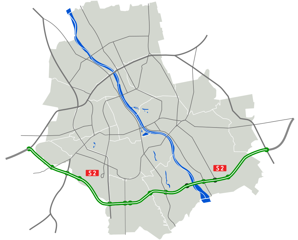
Polski: Droga ekspresowa S2 - południowa obwodnica Warszawy
English: S2 expressway - southern bypass of Warsaw
Deutsch: Schnellstraße S2 - südliche Teil der Warschauer Ring |
| Date | |
| Source | |
| Author |
|
| This is a retouched picture, which means that it has been digitally altered from its original version. Modifications: S2 Expressway. The original can be viewed here: WarszawaDocelowyUkladDrog.svg:
|
I, the copyright holder of this work, hereby publish it under the following licenses:
This file is licensed under the Creative Commons Attribution 3.0 Unported license.
- You are free:
- to share – to copy, distribute and transmit the work
- to remix – to adapt the work
- Under the following conditions:
- attribution – You must give appropriate credit, provide a link to the license, and indicate if changes were made. You may do so in any reasonable manner, but not in any way that suggests the licensor endorses you or your use.
You may select the license of your choice.
Original upload log
This image is a derivative work of the following images:
- File:WarszawaDocelowyUkladDrog.svg licensed with Cc-by-3.0, Cc-by-3.0
- 2009-09-02T18:47:12Z Sliwers 1199x967 (87777 Bytes) {{Information |Description={{pl|Docelowy układ dróg klasy A, S i GP w Warszawie.}} {{en|Map of the planned motorways in Warsaw.}} |Source=*[[:File:Warszawa_outline_with_districts_v2.svg|]] |Date=2009-09-02 18:46 (UTC) |Auth
| Annotations | This image is annotated: View the annotations at Commons |
File history
Click on a date/time to view the file as it appeared at that time.
| Date/Time | Thumbnail | Dimensions | User | Comment | |
|---|---|---|---|---|---|
| current | 17:29, 20 December 2021 | | 1,199 × 967 (75 KB) | Tadam | tunel na zielono |
File usage
The following page uses this file: